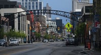
Columbus's transportation system is a typical Midwestern city structure centered around personal vehicles.
It is far from the subway-centric public transportation found in cities like New York or Chicago, with most residents commuting by car. However, recent investments in improving transportation infrastructure and expanding public transit are gradually enhancing the mobility environment in Columbus.
The public transportation in Columbus is primarily based on the bus system operated by COTA (Central Ohio Transit Authority). COTA runs over 40 bus routes across the Columbus metropolitan area, connecting downtown to the suburbs. As of 2024, the fare for a single adult ride is about $2. However, the wait times can be long (20-30 minutes or more), and service hours significantly decrease after the evening, making it challenging to live without a car. COTA introduced the CMAX, a Bus Rapid Transit (BRT) line, in 2019, providing faster bus service on certain routes.
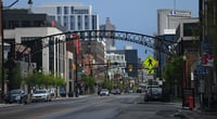
The main highways in Columbus are I-270, I-71, and I-70. I-270 is an outer belt that circles around Columbus, playing a crucial role in accessing the city from various directions. Notably, the northern interchange where I-270 meets I-71 and the western section where I-270 intersects with I-70 are significant bottlenecks during rush hour. Morning commutes are typically busiest from 7 AM to 9 AM, and evening rush hour peaks from 4:30 PM to 6:30 PM.
I-71 is a major north-south artery that runs through Columbus, often experiencing congestion near Ohio State University (OSU) and downtown exits. On Saturdays when OSU has home football games, I-71 and nearby roads can become severely congested due to tens of thousands of fans. It is wise to avoid entering surrounding roads a few hours before the game starts or to use public transportation or bicycles. I-70 is the east-west route frequently used for travel to the airport.
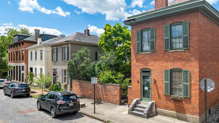
Bicycle infrastructure is also steadily expanding. Columbus has dedicated bike lanes and a bike-sharing system called CoGo (Columbus Bike Share). The bike paths along the Scioto River and the Old Town route are particularly popular among commuters and recreational cyclists. However, the infrastructure is still insufficient to cover all of Columbus by bike, so bicycles are mainly used for short-distance travel in the city center.
Traffic congestion levels in Columbus are relatively better compared to other major U.S. cities. According to the TomTom Traffic Index, Columbus records below-average congestion levels among U.S. metropolitan areas, significantly better than notorious traffic cities like LA, New York, and Seattle. However, as the city's population continues to grow, traffic conditions are gradually worsening. The city authorities are continuing to invest in expanding smart signal systems and improving road capacity.
 ItsJoyce
 SteveRespect


 Illinois alpaca |
 AH LALA |
 Information on All Regions of the United States |
 Cali M Law Group |
 What can make money? |
 strongman |

 Real Estate Investment Korean American |
 constant |
  ultron78 |
  Kitchen Ideas |
  Sandiego Auntie |
  Baguette Blog |
  International Court |
  Samsung My My |
  heeve |
  Forest Gump |
  Life in the US |
  TEXAS Fishing Boat |
  silver |
  glenix39 |
  Young Kim and Cheol's Blog |
  RV Samuel's Dad |
  Seattle - Emerald City |
  Alaska Kim |
  vegas mom |