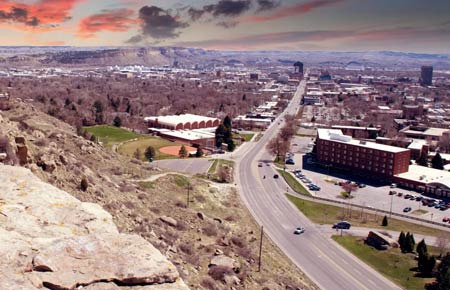
Many people considering a move to Billings often ask, "What about natural disasters there?"
Having lived here and researched the topic, I'll summarize the information for you. To put it simply, Billings is a city with a moderate risk of natural disasters by U.S. standards. Some disasters are more dangerous than others.
Let's start with tornadoes. While the entire state of Montana is not part of Tornado Alley, the eastern region where Billings is located does experience some tornado activity. According to the National Weather Service (NWS), Montana sees an average of about 7 tornadoes per year, most of which occur in the eastern plains of the state.
It's rare for a tornado to directly hit Billings, but they can occur in surrounding areas, and severe thunderstorms happen quite frequently in the summer. On unstable summer evenings, strong thunderstorms can bring hail, which can be large enough to damage car paint or break windows, so be sure to check weather alerts.
Flooding is a natural disaster that requires attention in Billings. The Yellowstone River runs through Billings, and when the spring snow melts quickly, the river can rise rapidly, creating a flood risk.
Especially between May and June, flood watches or warnings may be issued for low-lying areas near the Yellowstone River. Historically, Billings has experienced several significant floods, and it's essential to check FEMA flood maps when choosing a home near the river. Homes located in flood zones may be required to have flood insurance.
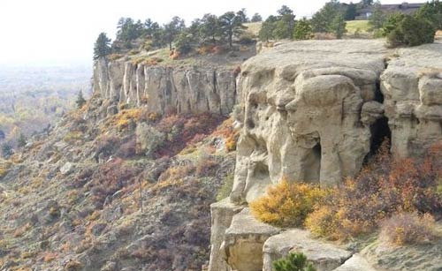
Wildfires pose a greater threat in the surrounding areas than in Billings itself.
Montana is one of the states with a high risk of wildfires due to dry summers and strong winds. While Billings, being an urban area, rarely suffers direct wildfire damage, smoke from nearby wildfires can affect air quality in the city.
Particularly between August and September, if wildfires occur in the surrounding areas, air quality in Billings can deteriorate rapidly. On days when the Air Quality Index (AQI) exceeds 150, it's advisable to limit outdoor activities, especially for those with respiratory conditions. You can check real-time air quality in Billings using the Purple Air app.
Heavy snowfall and blizzards are the most common natural disasters experienced in Billings. The average annual snowfall in Billings is about 55 inches, which is significant. Snowfall is concentrated from December to March, and blizzards that come with Nor'easters or Arctic Blasts can make travel difficult for days.
One of the worst snowstorms in Billings history occurred in December 2010, when several feet of snow fell in just a few days, paralyzing the city. Snow tires are essential for winter driving, not optional.
Extreme temperature fluctuations are also characteristic of Billings. In winter, temperatures can drop below -20 degrees Celsius (-4 degrees Fahrenheit), while in summer, heat waves can exceed 38 degrees Celsius (100 degrees Fahrenheit). Notably, Billings is famous for the Chinook winds, which can bring sudden warm air in winter, causing temperatures to rise by more than 30 degrees in a single day.
Such rapid temperature changes can quickly alter road conditions and impact health. You can find detailed information about the natural disaster risk in Yellowstone County, where Billings is located, using FEMA's National Risk Index tool.
 Gimmi207
 StillLiving


 total solution |
 Illinois alpaca |
 AH LALA |
 Information on All Regions of the United States |
 Cali M Law Group |
 tarvion |


 Yo Lock Me Up |
  The Long Shot |
  blues town |
  Vacation on Hawaii |
  TungTung's Dad Blog |
  ultron78 |
  Kitchen Ideas |
  Sandiego Auntie |
  Baguette Blog |
  International Court |
  Samsung My My |
  heeve |
  Forest Gump |
  Life in the US |
  TEXAS Fishing Boat |
  silver |
  glenix39 |
  Young Kim and Cheol's Blog |